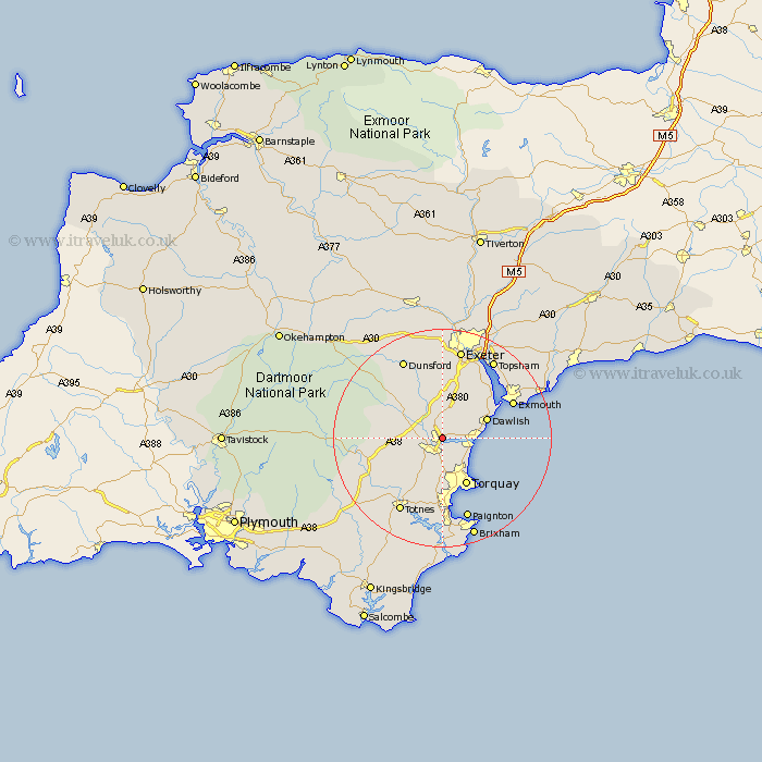
Devon Map Showing Location of Kingsteignton
Population: 8362
Area Size (ha): 203
District: Teignbridge
Easting: 287840 Northing: 73511
Latitude: 50.55 Longitude: -3.58
 = Kingsteignton
Area Size (ha): 203
District: Teignbridge
Easting: 287840 Northing: 73511
Latitude: 50.55 Longitude: -3.58
= Kingsteignton
This Kingsteignton map below is supplied by Google. Use the tools in the top left corner to zoom into street level or zoom out for a road map, you may also need to zoom in to see Kingsteignton on the map. Click and drag the map to move around. If the map fails to load try and refresh your browser or zoom in or out (+ or -).
Update - it seems Google no longer allow people to use their maps for free! This Kingsteignton map sometimes loads and sometimes gives a error. I am working on a solution.
Closest 30 Towns or Cities to Kingsteignton (Population over 500)
Newton Abbot 2.2km Bishopsteignton 3.53km Stokeinteignhead 5.12km Kingskerswell 5.56km Chudleigh 5.56km Abbotskerswell 6.04km Denbury 7.29km Bovey Tracey 7.98km Hennock 8.1km Ipplepen 8.22km Teignmouth 8.24km Dawlish 9.03km Marldon 9.34km Torquay 9.96km Broadhempston 10.25km Ilsington 10.76km Lustleigh 11.98km Starcross 11.98km Christow 12.07km Ashburton 12.35km Kenton 12.39km Staverton 12.4km Berry Pomeroy 13.81km Exmouth 14.74km Widdecombe 15.42km Widecombe in the Moor 15.42km Totnes 15.82km Paignton 15.91km Buckfastleigh 15.97km Lympstone 16.19km