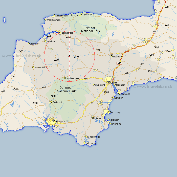
Devon Map Showing Location of Ashreigney
Population: 446
District: Torridge
Easting: 262893 Northing: 113041
Latitude: 50.9 Longitude: -3.95
 = Ashreigney
District: Torridge
Easting: 262893 Northing: 113041
Latitude: 50.9 Longitude: -3.95
= Ashreigney
This Ashreigney map below is supplied by Google. Use the tools in the top left corner to zoom into street level or zoom out for a road map, you may also need to zoom in to see Ashreigney on the map. Click and drag the map to move around. If the map fails to load try and refresh your browser or zoom in or out (+ or -).
Update - it seems Google no longer allow people to use their maps for free! This Ashreigney map sometimes loads and sometimes gives a error. I am working on a solution.
Closest 30 Towns or Cities to Ashreigney (Population over 500)
Burrington 3.7km Barrington 3.7km Chulmleigh 6.13km Dolton 6.13km Chawleigh 8.18km High Bickington 8.2km Lapford 11.16km North Tawton 11.66km Hatherleigh 12.36km Sampford Courtnay 12.98km Sampford Courtenay 12.98km Sampford Courtney 12.98km Chittlehampton 12.98km Nymet Tracey 14.53km Bow 14.53km Great Torrington 15.08km Torrington 15.08km Morchard Bishop 15.09km South Molton 15.34km Witheridge 16.47km Swimbridge 16.72km Langtree 17.63km Copplestone 17.91km Tawstock 18.09km Black Torrington 18.82km Okehampton 18.86km South Tawton 18.87km Northlew 18.89km Shebbear 19.52km North Molton 19.71km