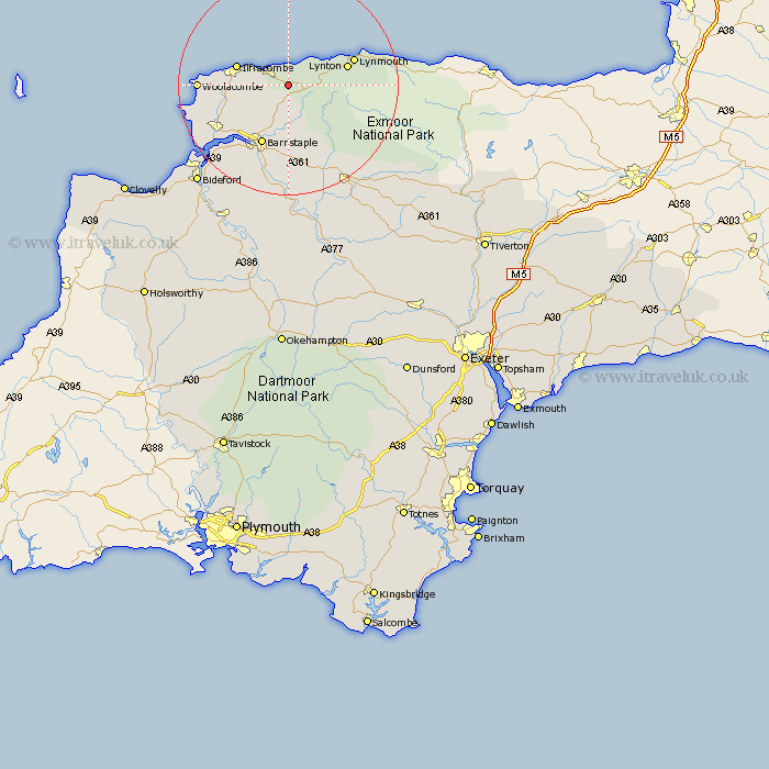
Devon Map Showing Location of Kentisbury
Population: 266
District: North Devon
Easting: 261398 Northing: 144601
Latitude: 51.18 Longitude: -3.98
 = Kentisbury
District: North Devon
Easting: 261398 Northing: 144601
Latitude: 51.18 Longitude: -3.98
= Kentisbury
This Kentisbury map below is supplied by Google. Use the tools in the top left corner to zoom into street level or zoom out for a road map, you may also need to zoom in to see Kentisbury on the map. Click and drag the map to move around. If the map fails to load try and refresh your browser or zoom in or out (+ or -).
Update - it seems Google no longer allow people to use their maps for free! This Kentisbury map sometimes loads and sometimes gives a error. I am working on a solution.
Closest 30 Towns or Cities to Kentisbury (Population over 500)
Combe Martin 3.95km Berrynarbor 6.1km Bratton Fleming 7.76km West Down 9.48km Ilfracombe 10km Iltracombe 10km Marwood 10.17km Lynton 11.09km Linton 11.09km Barnstaple 12.05km Swimbridge 14.87km Morthoe 15.1km Mortehoe 15.1km Tawstock 15.53km Fremington 15.96km Georgeham 16.1km Braunton 16.75km Chittlehampton 18.67km North Molton 19.58km Instow 19.58km Appledore 21.18km South Molton 21.28km Northam 23.31km High Bickington 24.11km Bideford 24.67km Barrington 27.9km Burrington 27.9km Torrington 28.43km Great Torrington 28.43km Buckland Brewer 30.45km