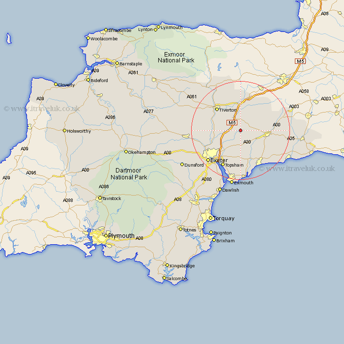
Devon Map Showing Location of Plymtree
Population: 605
District: East Devon
Easting: 304909 Northing: 102836
Latitude: 50.82 Longitude: -3.35
 = Plymtree
District: East Devon
Easting: 304909 Northing: 102836
Latitude: 50.82 Longitude: -3.35
= Plymtree
This Plymtree map below is supplied by Google. Use the tools in the top left corner to zoom into street level or zoom out for a road map, you may also need to zoom in to see Plymtree on the map. Click and drag the map to move around. If the map fails to load try and refresh your browser or zoom in or out (+ or -).
Update - it seems Google no longer allow people to use their maps for free! This Plymtree map sometimes loads and sometimes gives a error. I am working on a solution.
Closest 30 Towns or Cities to Plymtree (Population over 500)
Payhembury 3.97km Talaton 4.39km Bradninch 5.03km Whimple 5.56km Kentisbeare 6.03km Broadhembury 6.14km Cullompton 6.57km Willand 7.5km Rockbeare 7.78km Broad Clyst 8.08km Gittisham 9km Uffculme 9.34km Silverton 9.37km Ottery St Mary 9.45km Ottery St. Mary 9.45km Ottery Saint Mary 9.45km Halberton 10.38km Dunkeswell 10.89km Aylesbeare 11.18km Honiton 11.86km Stoke Canon 11.92km Thorverton 13.02km Culmstock 13.15km Tiverton 13.17km Sampford Peverell 13.43km Newton Poppleford 13.44km Hemyock 13.81km Burlescombe 15.01km Colaton Raleigh 15.02km Colyton Raleigh 15.02km