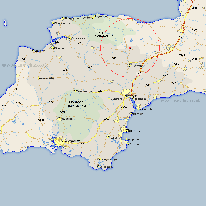
Devon Map Showing Location of Morebath
Population: 322
District: Mid Devon
Easting: 295965 Northing: 125253
Latitude: 51.02 Longitude: -3.48
 = Morebath
District: Mid Devon
Easting: 295965 Northing: 125253
Latitude: 51.02 Longitude: -3.48
= Morebath
This Morebath map below is supplied by Google. Use the tools in the top left corner to zoom into street level or zoom out for a road map, you may also need to zoom in to see Morebath on the map. Click and drag the map to move around. If the map fails to load try and refresh your browser or zoom in or out (+ or -).
Update - it seems Google no longer allow people to use their maps for free! This Morebath map sometimes loads and sometimes gives a error. I am working on a solution.
Closest 30 Towns or Cities to Morebath (Population over 500)
Bampton 3.71km Holcombe Rogus 10.86km Sampford Peverell 10.96km Tiverton 12.98km Halberton 13.79km Burlescombe 13.82km Uffculme 16.7km Willand 16.93km Cullompton 17.68km Culmstock 19.76km Witheridge 19.77km Kentisbeare 20.36km Hemyock 20.74km Cheriton Fitzpaine 20.76km Bradninch 20.92km Silverton 22.24km North Molton 22.45km Plymtree 24.12km Thorverton 24.35km South Molton 24.48km Dunkeswell 25.04km Broadhembury 25.43km Sandford 25.69km Morchard Bishop 26.32km Payhembury 27.31km Chawleigh 27.74km Lapford 27.76km Stoke Canon 27.82km Broad Clyst 28.02km Crediton 28.46km