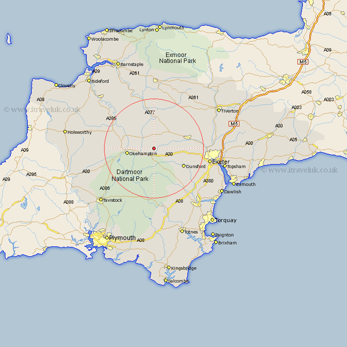
Devon Map Showing Location of Spreyton
Population: 295
District: West Devon
Easting: 269506 Northing: 96183
Latitude: 50.75 Longitude: -3.85
 = Spreyton
District: West Devon
Easting: 269506 Northing: 96183
Latitude: 50.75 Longitude: -3.85
= Spreyton
This Spreyton map below is supplied by Google. Use the tools in the top left corner to zoom into street level or zoom out for a road map, you may also need to zoom in to see Spreyton on the map. Click and drag the map to move around. If the map fails to load try and refresh your browser or zoom in or out (+ or -).
Update - it seems Google no longer allow people to use their maps for free! This Spreyton map sometimes loads and sometimes gives a error. I am working on a solution.
Closest 30 Towns or Cities to Spreyton (Population over 500)
South Tawton 3.98km Nymet Tracey 6.03km Bow 6.03km North Tawton 6.58km Drewsteignton 7.28km Chagford 7.51km Sampford Courtney 7.95km Sampford Courtenay 7.95km Sampford Courtnay 7.95km Cheriton Bishop 8.42km Copplestone 8.96km Okehampton 10.72km Tedburn St. Mary 11.87km Tedburn Saint Mary 11.87km Tedburn St Mary 11.87km Morchard Bishop 13.16km Moretonhampstead 13.16km Lapford 13.44km Dunsford 13.88km Crediton 14.55km Sandford 14.87km Holcombe Burnell 15.69km Chawleigh 16.72km Hatherleigh 16.94km Lustleigh 17.55km Newton St. Cyres 17.68km Saint Cyres 17.68km St Cyres 17.68km St. Cyres 17.68km Newton St Cyres 17.68km