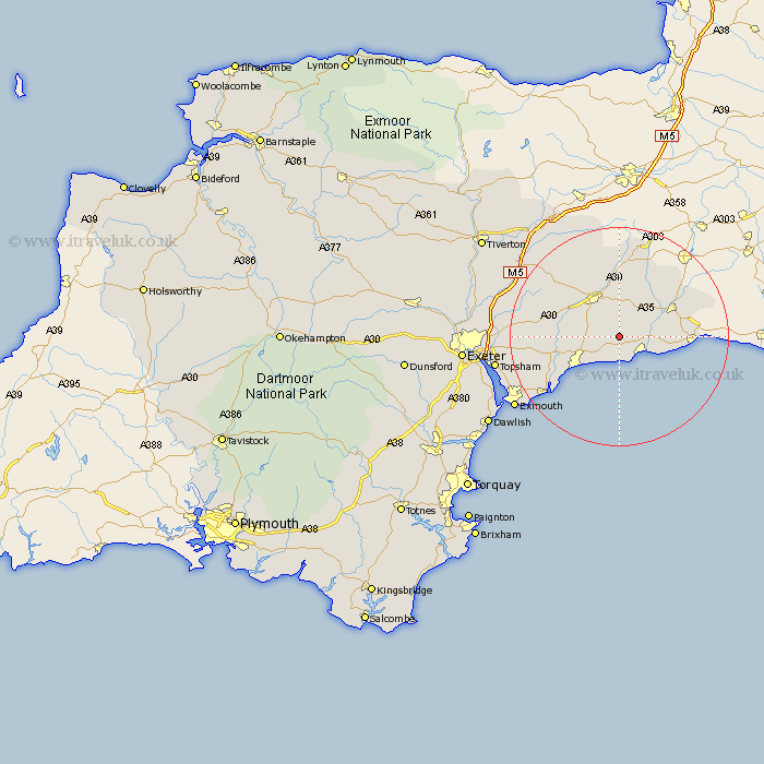
Devon Map Showing Location of Southleigh
Population: 193
District: East Devon
Easting: 320028 Northing: 93307
Latitude: 50.73 Longitude: -3.13
 = Southleigh
District: East Devon
Easting: 320028 Northing: 93307
Latitude: 50.73 Longitude: -3.13
= Southleigh
This Southleigh map below is supplied by Google. Use the tools in the top left corner to zoom into street level or zoom out for a road map, you may also need to zoom in to see Southleigh on the map. Click and drag the map to move around. If the map fails to load try and refresh your browser or zoom in or out (+ or -).
Update - it seems Google no longer allow people to use their maps for free! This Southleigh map sometimes loads and sometimes gives a error. I am working on a solution.
Closest 30 Towns or Cities to Southleigh (Population over 500)
Branscombe 3.7km Colyton 3.98km Beer 4.38km Seaton 5.98km Shute 5.98km Musbury 7.28km Kilmington 7.96km Honiton 8.21km Gittisham 8.97km Ottery St Mary 9.56km Ottery St. Mary 9.56km Ottery Saint Mary 9.56km Sidmouth 9.92km Uplyme 11.73km Axminster 11.93km Stockland 12.07km Newton Poppleford 12.31km Membury 12.38km Payhembury 13.87km Otterton 13.88km Talaton 14.04km Colaton Raleigh 14.06km Colyton Raleigh 14.06km Broadhembury 14.54km Upottery 14.83km Chardstock 15.32km Yarcombe 15.56km Whimple 15.69km East Budleigh 15.89km Dunkeswell 15.95km