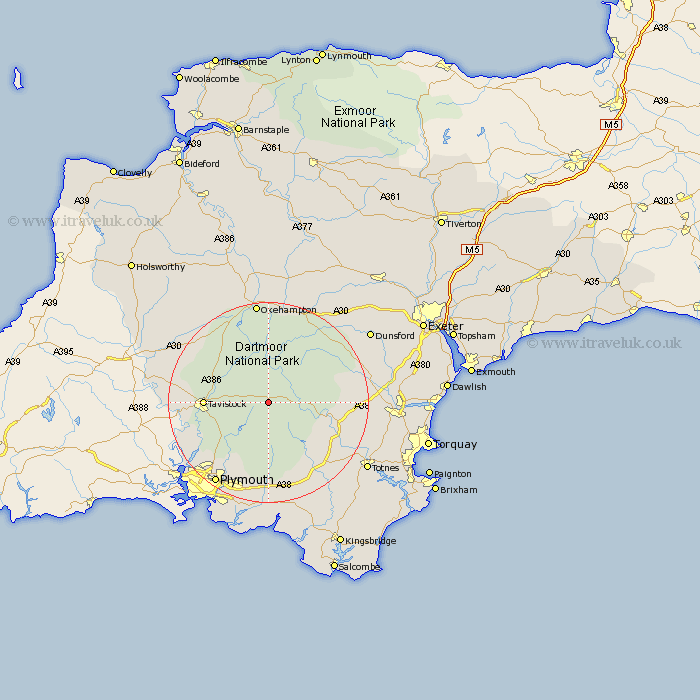
Devon Map Showing Location of Two Bridges
District: West Devon
Easting: 260687 Northing: 74161
Latitude: 50.55 Longitude: -3.97
 = Two Bridges
Easting: 260687 Northing: 74161
Latitude: 50.55 Longitude: -3.97
= Two Bridges
This Two Bridges map below is supplied by Google. Use the tools in the top left corner to zoom into street level or zoom out for a road map, you may also need to zoom in to see Two Bridges on the map. Click and drag the map to move around. If the map fails to load try and refresh your browser or zoom in or out (+ or -).
Update - it seems Google no longer allow people to use their maps for free! This Two Bridges map sometimes loads and sometimes gives a error. I am working on a solution.
Closest 30 Towns or Cities to Two Bridges (Population over 500)
Dartmoor Forest 5.12km Walkhampton 7.98km Meavy 9.47km Horrabridge 10.94km Yelverton 11.09km Widecombe in the Moor 11.92km Widdecombe 11.92km Whitchurch 11.92km Whitechurch 11.92km Shaugh Prior 12.59km Tavistock 12.95km Buckland Monachorum 13.03km Bickleigh 13.18km Cornwood 14.82km Buckfastleigh 14.93km Lamerton 15.42km Ashburton 15.76km South Brent 16.04km Brent 16.04km Ilsington 16.59km Chagford 17.55km Bridestowe 17.56km Gunnislake 17.76km Ivybridge 18.87km Moretonhampstead 18.91km Lustleigh 19.15km Plymouth 19.77km Ugborough 20.29km Bovey Tracey 20.35km Okehampton 20.52km