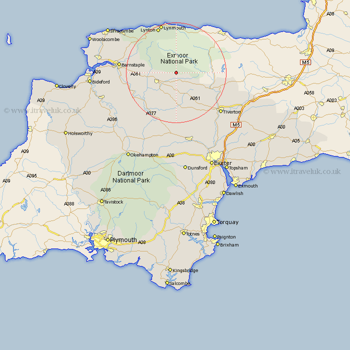
Devon Map Showing Location of Twitchen
Population: 70
District: North Devon
Easting: 278519 Northing: 129339
Latitude: 51.05 Longitude: -3.73
 = Twitchen
District: North Devon
Easting: 278519 Northing: 129339
Latitude: 51.05 Longitude: -3.73
= Twitchen
This Twitchen map below is supplied by Google. Use the tools in the top left corner to zoom into street level or zoom out for a road map, you may also need to zoom in to see Twitchen on the map. Click and drag the map to move around. If the map fails to load try and refresh your browser or zoom in or out (+ or -).
Update - it seems Google no longer allow people to use their maps for free! This Twitchen map sometimes loads and sometimes gives a error. I am working on a solution.
Closest 30 Towns or Cities to Twitchen (Population over 500)
North Molton 4.66km South Molton 7.91km Witheridge 14.87km Chittlehampton 15.6km Swimbridge 16.31km Bratton Fleming 16.85km Chulmleigh 17.52km Chawleigh 18.09km Bampton 19km Linton 19.81km Lynton 19.81km Barrington 19.96km Burrington 19.96km High Bickington 20.83km Lapford 20.91km Tawstock 22.14km Morchard Bishop 22.27km Barnstaple 22.44km Cheriton Fitzpaine 23.69km Tiverton 24.18km Marwood 25.55km Sandford 26.36km Sampford Peverell 26.7km Combe Martin 26.77km Fremington 26.86km Halberton 27.74km Copplestone 27.82km Dolton 28.02km Holcombe Rogus 28.37km Bow 28.41km